Industries we serve
Patriot brings the same rigor to every sector we serve, with crews who understand the technical requirements and fast-paced demands of each.




Licensed In:
• North Carolina
• South Carolina
• Virginia
• Georgia
• Tennessee
• Florida
Professional Memberships
• National Society of Professional Surveyors (NSPS)
• Carolinas Association of Surveyors
• Utility & Transportation Contractors Association
• Local Chambers of Commerce
100+ Years of Combined Experience
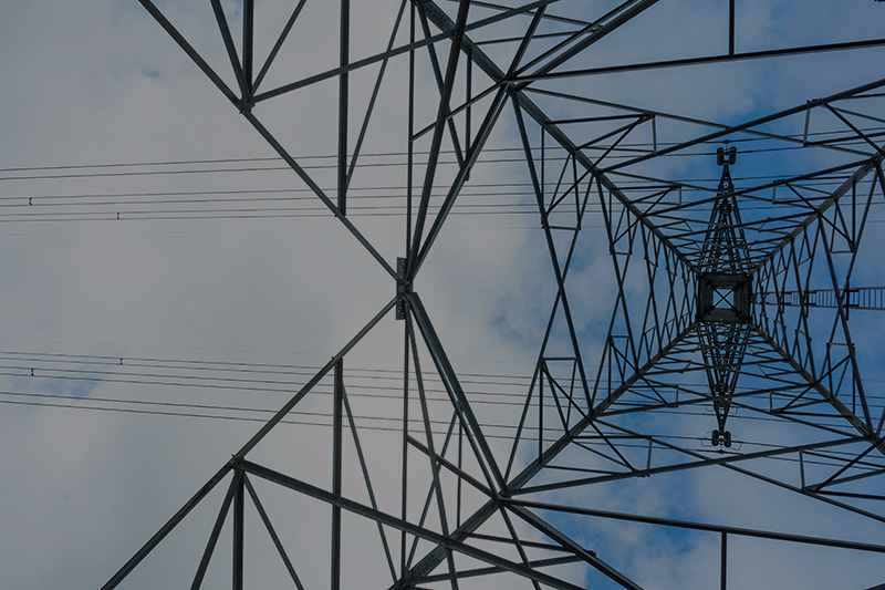
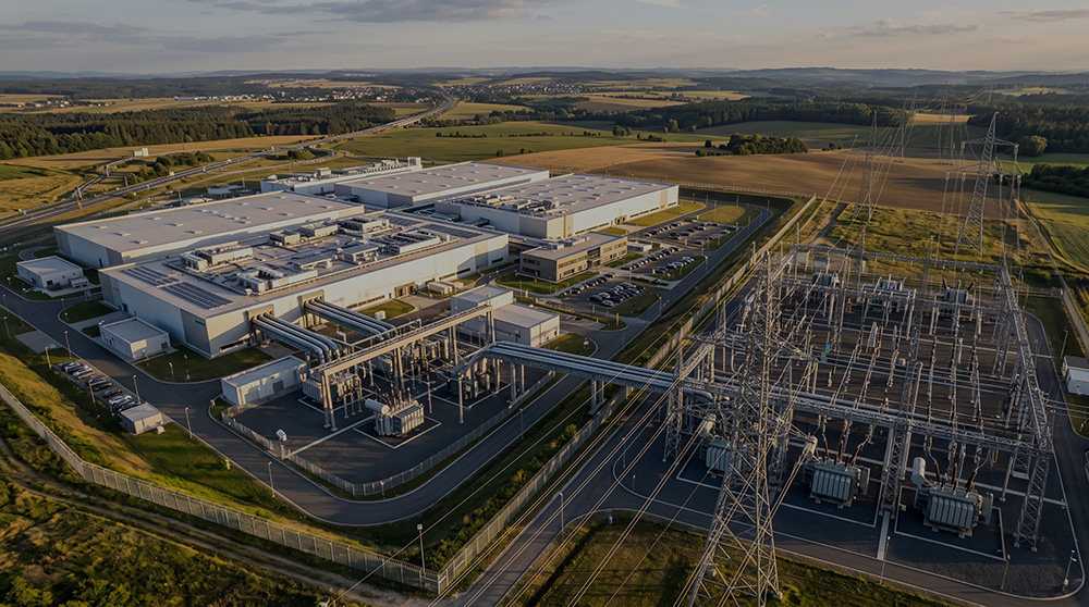
• Utility Infrastructure
• Renewable Energy
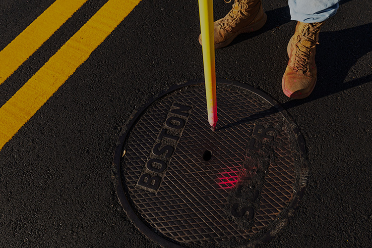
• Transportation
• Oil & Natural Gas
• Government
How We Work
A clear path from scope to closeout
01
Scope & Mobilize
We define deliverables and put a crew on your site from the nearest office.
02
Field Collection
Boundary, topo, SUE, LiDAR, or hydrographic data captured to spec.
03
QA & Deliverables
Data checked, processed, and delivered in the formats your team needs.
04
Build Support
Staking, as-builts, and answers through construction and closeout.
Contact Us
Headquarters: Mooresville, North Carolina · Satellite offices nationwide, crews across 33 states.