Supporting the infrastructure that connects communities and powers progress.
Patriot Surveying & Infrastructure delivers accurate, on-schedule survey and geospatial data for oil and gas, power, heavy civil, and renewable energy projects. Satellite offices across the country mean we support work of any size, in any region.
A national service provider supporting energy and infrastructure across the United States.
When a project spans regions, you need a survey partner who can reach the site fast and return data you can build on. Patriot pairs traditional surveying with modern geospatial tools and a national network of satellite offices, so your timelines hold and your crews stay moving. We focus on commercial and infrastructure work only, from a single boundary to a multi-state pipeline corridor.

Full-scope survey & geospatial capability
Every discipline your project needs, delivered by one accountable team.
Land & Boundary Survey
Property boundary and easement surveys, ALTA/NSPS land title surveys, right-of-way, and preliminary route surveys.
Topographic & Construction
Topographic surveys, construction staking, as-built surveys, and machine-control and metrology support.
Geospatial, LiDAR & Aerial Mapping
High-resolution aerial imagery, LiDAR collection and classification (PLS-CADD ready), and photogrammetric mapping.
Subsurface Utility Engineering
SUE Quality Level A to D utility location, hydro and air vacuum excavation, and CCTV inspection.
Hydrographic Surveying
Bathymetric and hydrographic surveys for waterway crossings, marine facilities, and infrastructure over water.
GIS & Data Management
Spatial data management, utility and asset mapping, 3D modeling, and GIS integration for long-term planning.
Experience where the stakes are highest
Decades of combined experience across the sectors that keep the country running.
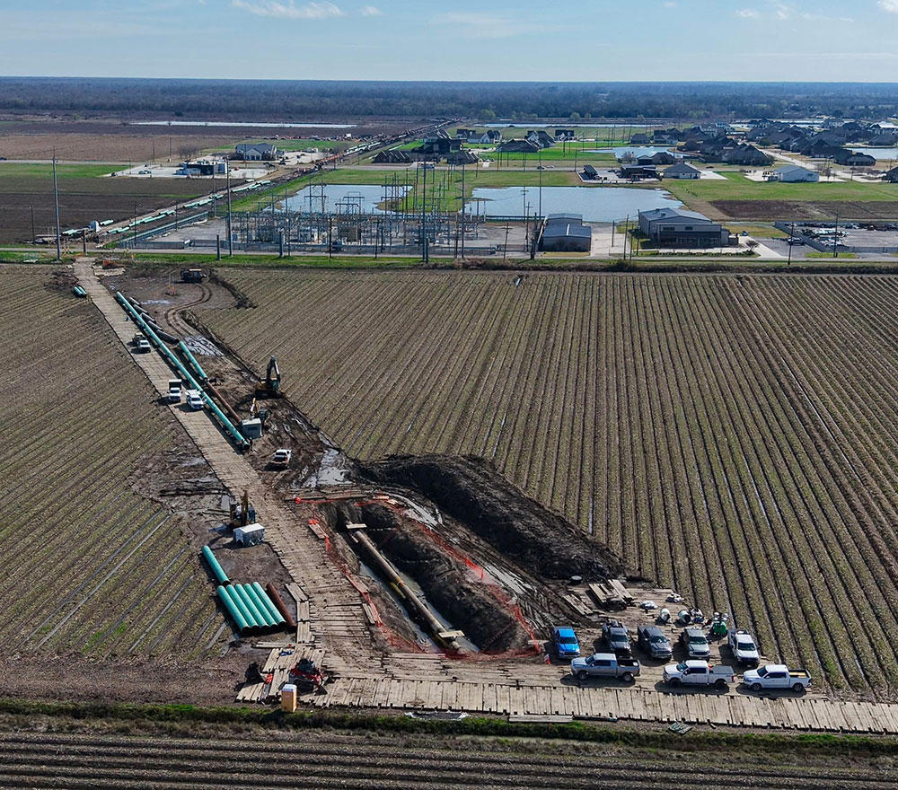
Oil, Natural Gas & Pipeline
Route, boundary, and construction surveys for oil, gas gathering, and transmission.

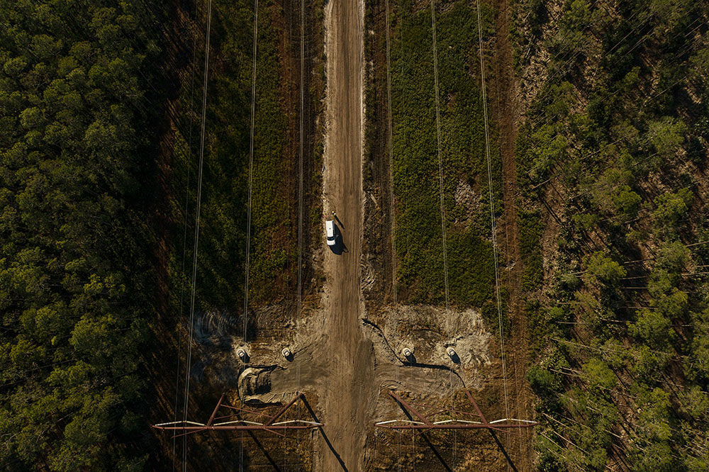
Power & Transmission
Transmission line conductor spans, substations, and generation sites.
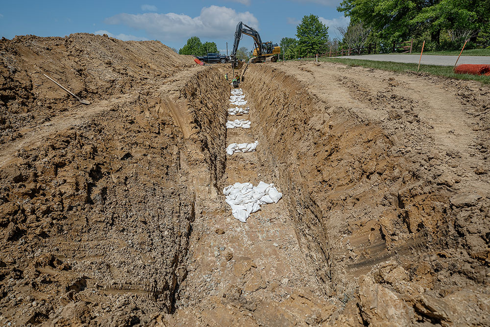
Heavy Civil Construction
Staking, as-builts, and control for large civil and transportation builds.
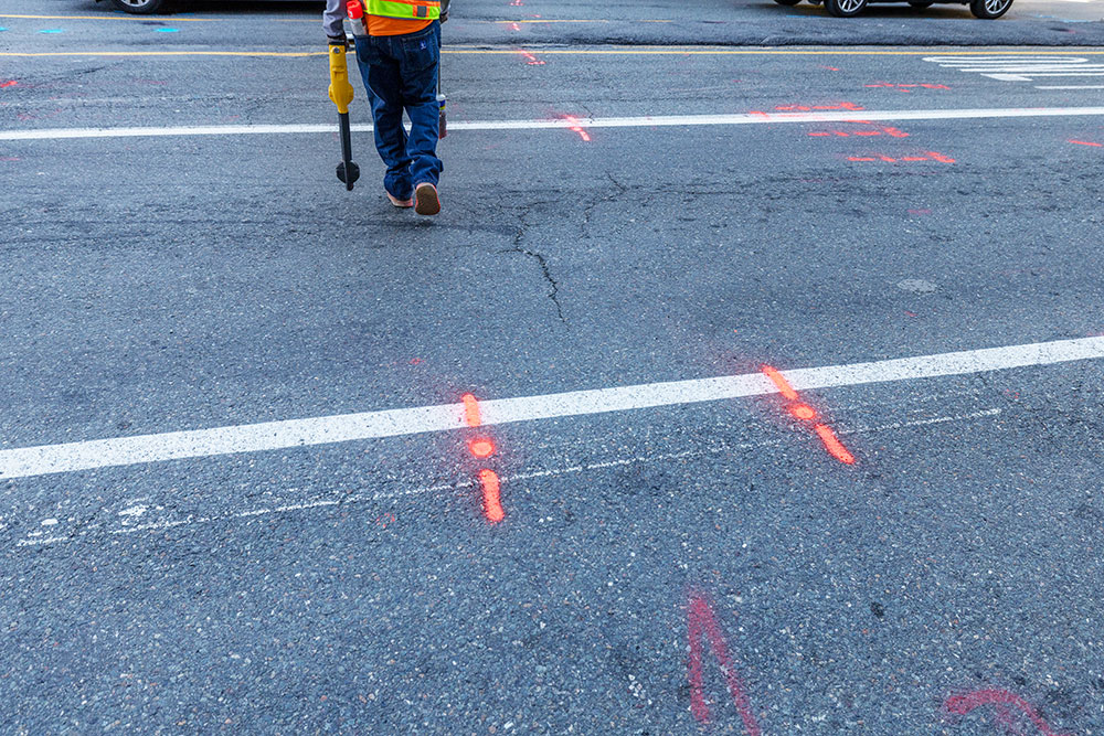
Site Development
Boundary, topographic, and design survey from concept to closeout.

Infrastructure
Utilities, corridors, and public works with subsurface and GIS support.
Renewable Energy
Solar and wind site surveys, layout, and as-built verification.
Substance over slogans
Three commitments run through every project we touch.
Precise, dependable data you can build on the first time, backed by modern equipment and experienced crews.
Crews mobilized quickly from satellite offices nationwide, so your schedule holds and field questions get answered fast.
The right crew and the right technology for the job, pairing traditional survey with geospatial to control cost.
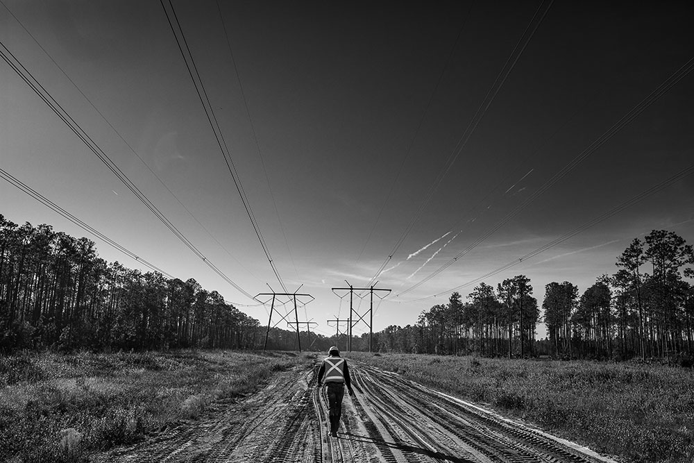
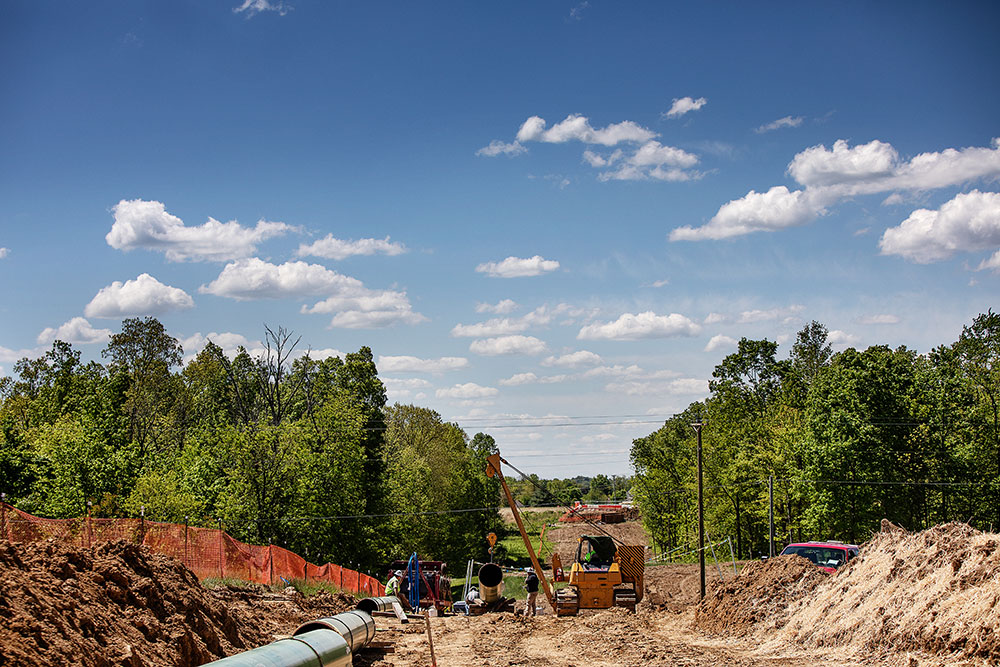
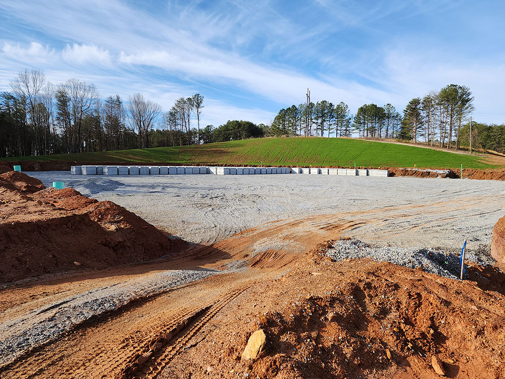
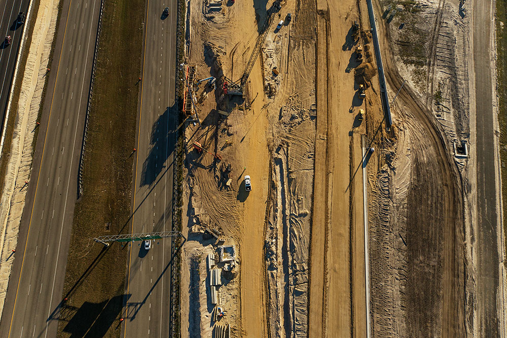
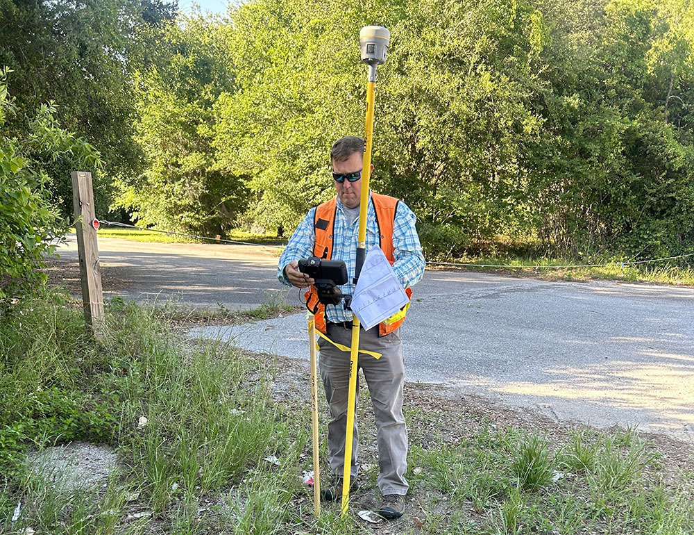
Real crews. Real projects.



A clear path from scope to closeout
Scope & Mobilize
We define deliverables and put a crew on your site from the nearest office.
Field Collection
Boundary, topo, SUE, LiDAR, or hydrographic data captured to spec.
QA & Deliverables
Data checked, processed, and delivered in the formats your team needs.
Build Support
Staking, as-builts, and answers through construction and closeout.